
17 Mar The Voronoi polygons – part II
17/03/2022
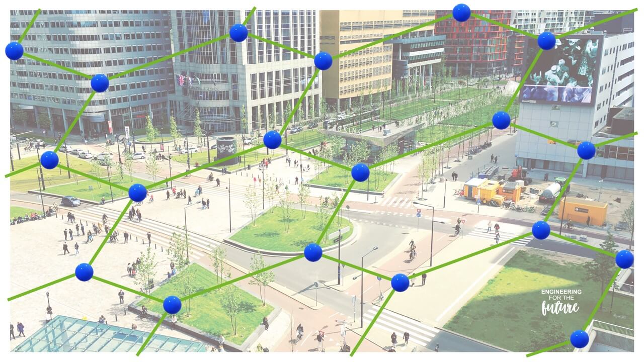
QGIS is a free open source GIS that allows calculation and representation of Voronoi polygons on plans and cartographic maps of urban areas and geographical regions.
When, for example, we build a new distribution power substation in a city to meet the growing demand for new domestic and commercial consumption, this function will allow us to represent the new configuration of the Voronoi polygons around the existing substations and the new one.
The criterion for providing service to a new building will be to project a feeder from the substation corresponding to the Voronoi polygon within which the new supply point is located.
The world of cell phones (including 5G technology) is named after the location system of radio transmitting antennas to provide coverage to cell phones that are within their Voronoi polygon or cell.
In areas with a high density of users, the antennas are closer, so the polygons or cells are less extensive, while in less dense areas, the distances between antennas are greater and therefore, so are their associated polygons.
If the distances between the transmitting antennas are regular, the polygons tend to be regular hexagons.
For more information, contact Daniel Sánchez Castán (dsanchez@ingenieros-im3.com)